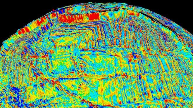
Rocks produced by the cooling and solidifying of magma are known as igneous rocks; if iron-rich igneous rocks cool below a certain temperature known as the Curie point, they record the position of the Earth’s magnetic poles at the time. As the magnetic poles wander over time, these igneous rocks act as location markers, and it is possible to use these to trace how rocks, and therefore entire continents, moved over time.
A team of researchers at the University of Sydney, in collaboration with the University of Oslo and Caltech, is at the forefront of creating ancient digital maps of our home world, having most recently released their spectacularly detailed results online in the open-source software GPlates, version 1.5. Out of a possible 4.6 billion years – the age of our planet–410 million years of Earth’s tectonic history has already been documented by the team in remarkable detail using this ancient magnetic history, known as the planet’s paleomagnetism. This is an ongoing project that continuously improves on both the accuracy and the geological timeline represented, with 2.0 being the latest version.
In the recent past, animations of the evolution of the Earth’s surface have been hand-drawn and pieced together in a graphics program. Although revolutionary at the time, they are fraught with inaccuracies due to the fact that the animations assume a 2D Earth. Perhaps most importantly, the ancient longitudes of the continents were unavailable. Although the magnetic record informs of the north-south positioning (the latitude), the east-west positioning was an unknown.
Mueller and his EarthByte team wanted to drastically improve the accuracy of these models. Specifically, they wanted to acknowledge the true, 3D nature of tectonic drift, noting that the continents are anchored down to major tectonic plates, meaning they are not free to simply drift in any direction.
Advertising

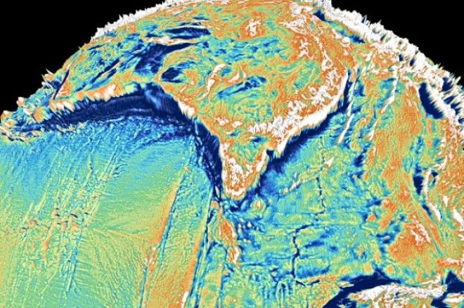
A reconstruction of the world 40 million years ago using paleomagnetism and "gravity mapping."
With enhanced computing power, additional gravity mapping data, and an updated rule book as to how plate tectonics are “allowed” to operate, the team set up GPlates from scratch, modeling the movement of plates and continents on a 3D sphere. Among many other advancements made by the team, two stand out: the precision of the models and the ability to map the continents’ longitudinal positions.
Whereas older studies showed plate movements at 10-million-year increments, this software shows the evolution of the planet in just 1-million-year stages. Additionally, a 2014 paper by the team notes that, while continents moved around, enormous zones of incredibly old rocks called "large igneous provinces" (LIPs) and "large low shear-wave velocity provinces" (LLSVPs) did not, meaning they were a fixed longitudinal reference. Using these LIPs and LLSVPs, the most accurate temporal mapping of the continents is now taking place.
Already, the team has made huge strides in the field: Rodinia, a mysterious supercontinent like the more famous Pangea but roughly 700 million years older, has begun to have been modeled by the team with unprecedented accuracy. The GPlates software makes it clear that although the ability to travel through time remains firmly within the domain of physics, we are able to beautifully illustrate the past using the science of geology.

