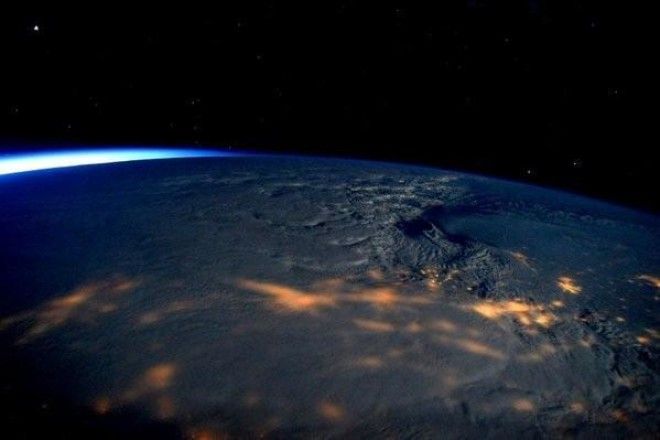
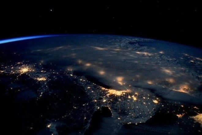
Scott Kelly, who's spending a year on the International Space Station, has tweeted several photos of the storm blanketing the coast:
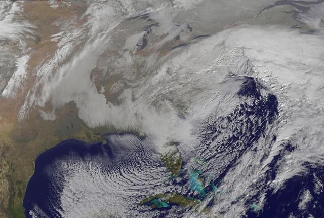
NASA released a model of the storm created by their Center for Climate Simulation supercomputer. And a series of satellite photos of the storm in action:
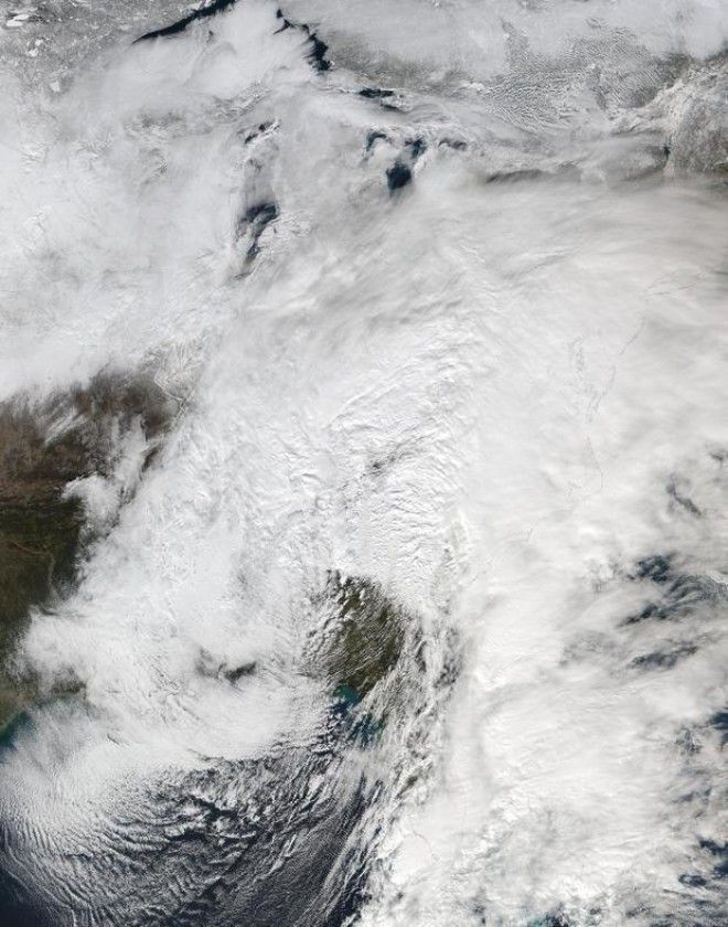
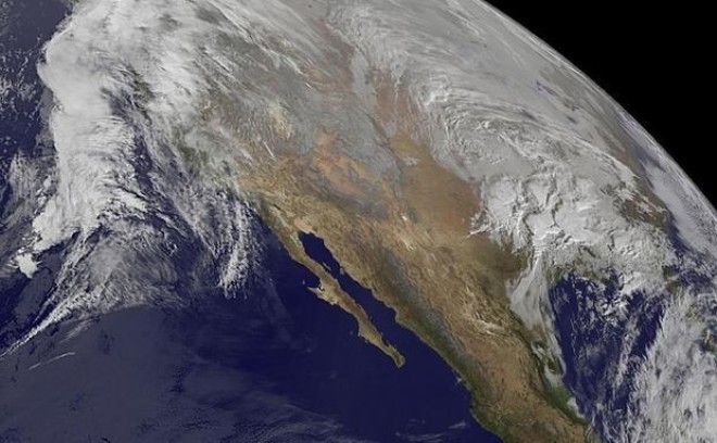
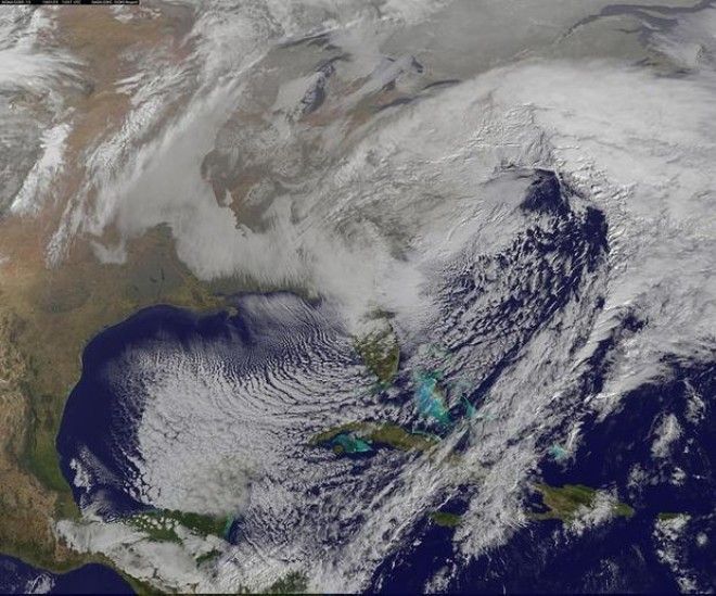
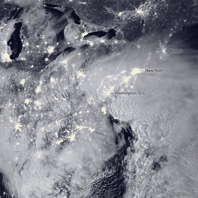
NASA's Visible Infrared Imaging Radiometer Suite (VIIRS), which relies on light reflecting from the moon above and the infrastructure below, captured this image, at 2:35 a.m. EST on Friday, showing the storm sweeping across the country:
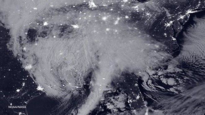
And at 2:15 a.m. EST on Saturday, it took this image of the storm right above major cities along the East coast:
